Badwater Basin, nestled in the heart of Death Valley National Park in Inyo County, California, holds the title as the lowest point in both North America and the United States, plunging 282 feet below sea level. Remarkably, it lies a mere 84.6 miles from Mount Whitney, the highest peak in the contiguous United States, showcasing the dramatic contrasts within this region.
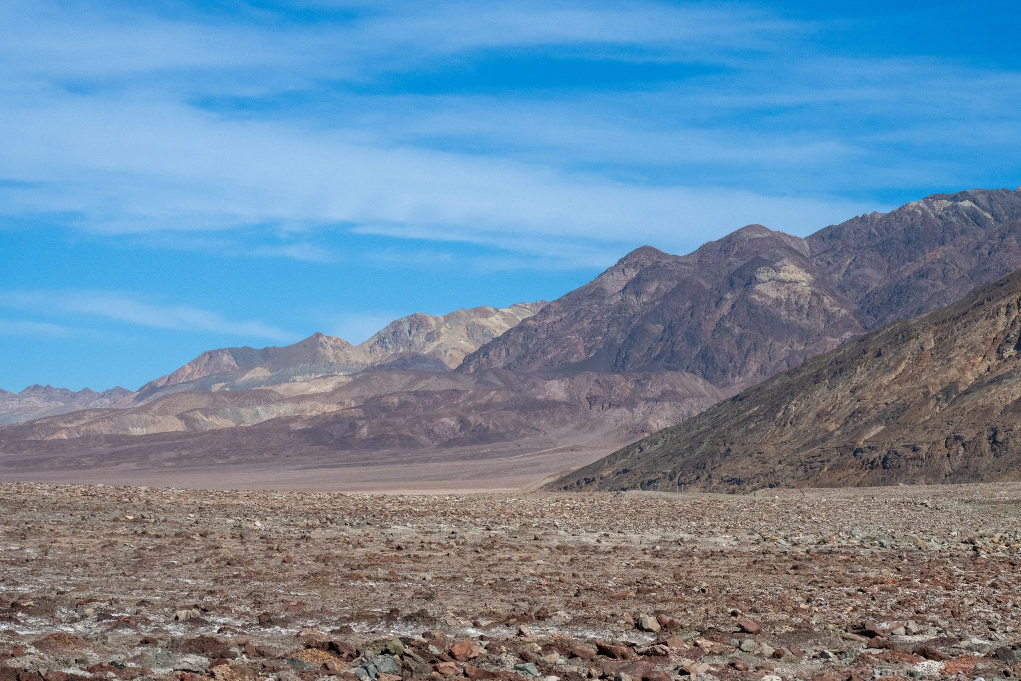
This unique spot features a small spring-fed pool near the road, known for its undrinkable water due to the high salt content from the surrounding basin, hence the name “Badwater.” Despite its inhospitable name, the pool supports life, including pickleweed, aquatic insects, and the endemic Badwater snail.
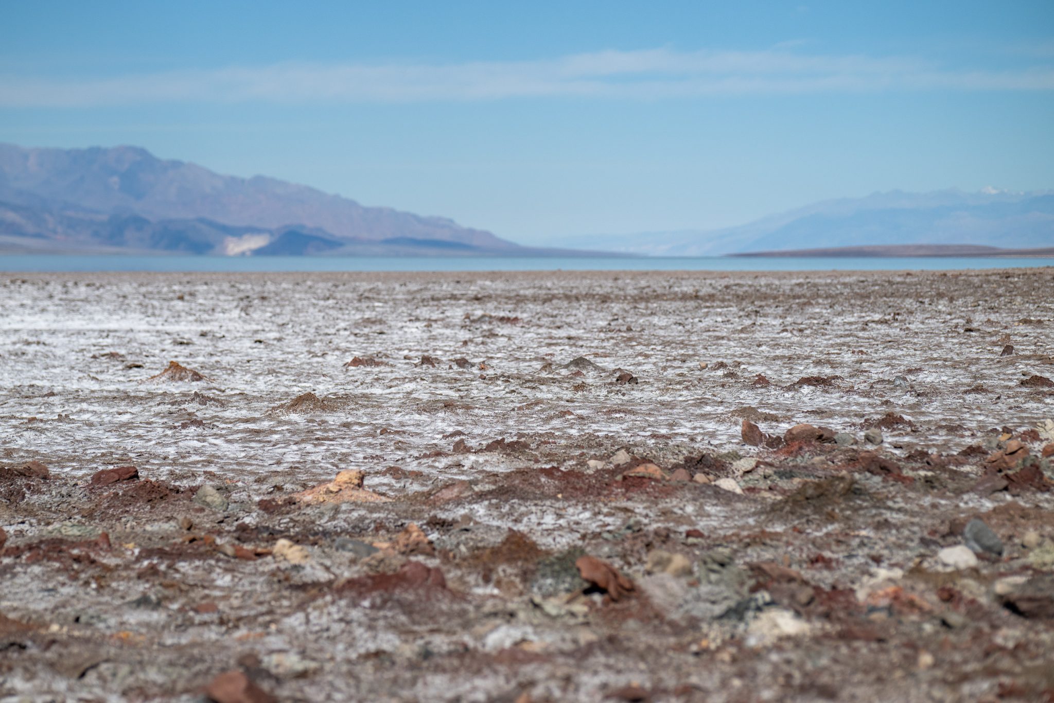
Beyond the pool, the landscape reveals intricate patterns of hexagonal honeycomb shapes, formed by the cycles of freezing, thawing, and evaporation, where the salt crust of the basin floor emerges.
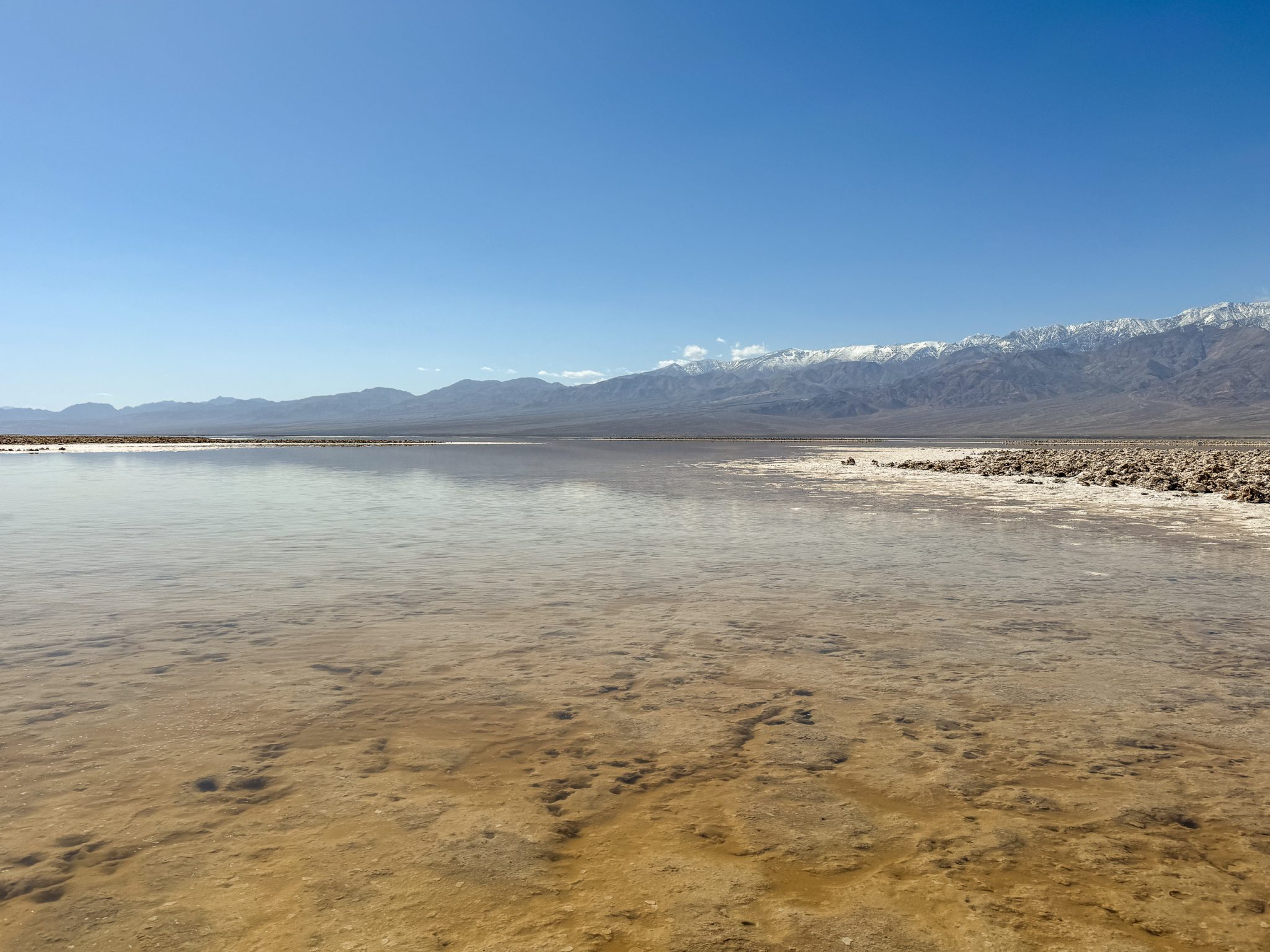
The actual lowest point of Badwater Basin, slightly deeper than the pool, lies a few miles to the west, its exact location shifting with the patterns of rainfall and evaporation. The terrain here, mainly salt flats, can be treacherous due to a thin crust overlying mud, leading visitors to the more accessible pool marked by a sign instead.
At Badwater Basin, occasional heavy rainstorms temporarily transform the valley floor, blanketing the salt flats with a shallow expanse of water. These ephemeral lakes vanish quickly, as the modest annual rainfall of 1.9 inches is vastly outmatched by an evaporation rate of 150 inches, the highest in the United States.
This intense evaporation potential means that even a lake 12 feet deep could disappear within a year. During these flooding events, some of the basin’s salt dissolves, only to crystallize anew as the water evaporates, leaving behind freshly deposited salt crystals.
Tourists are drawn to the site by the “sea level” sign perched on the cliff above Badwater Basin, a stark reminder of the area’s extreme elevation below the ocean’s surface.
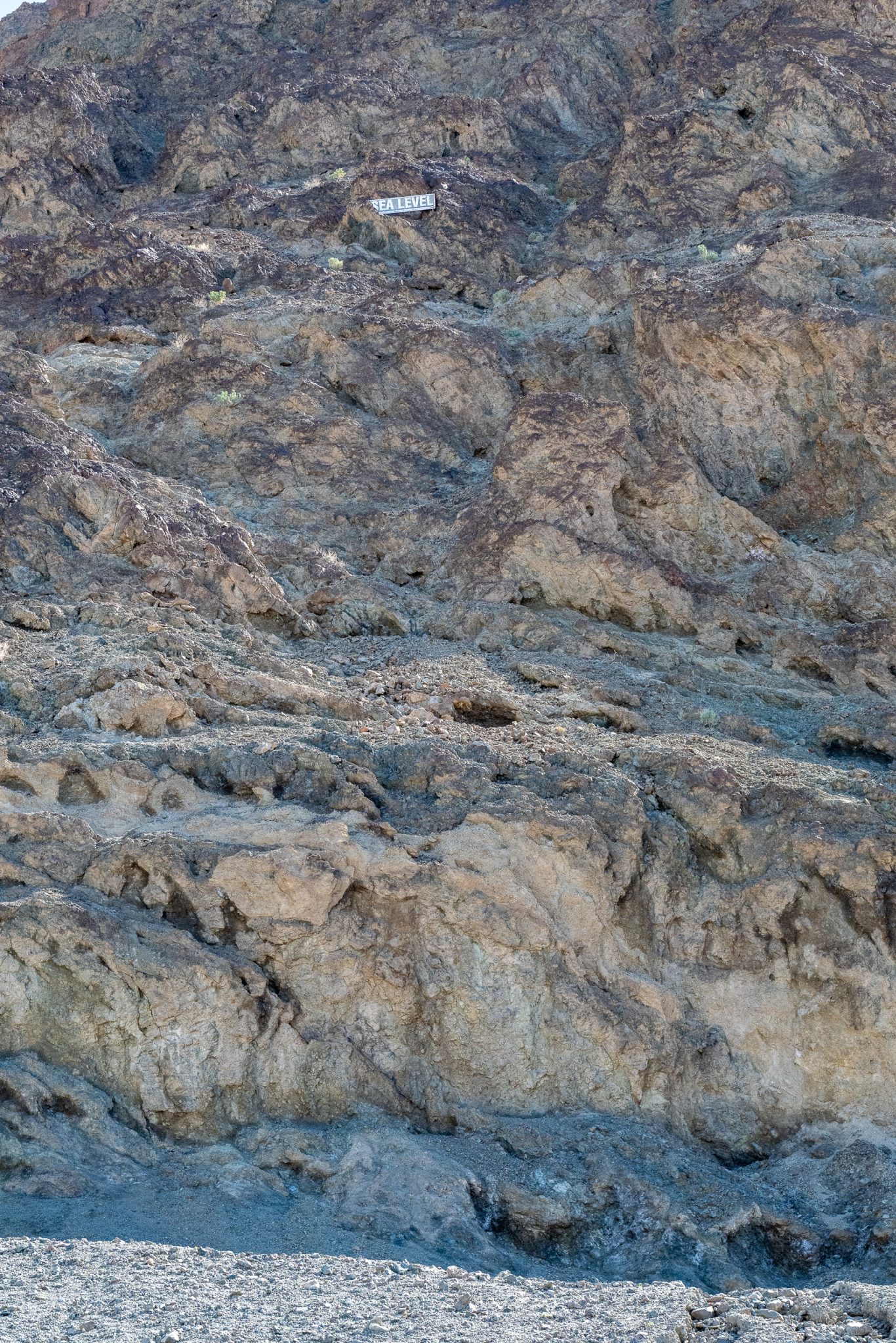
The basin’s landscape, much like Owens Lake, features a thick layer of unconsolidated valley fill, from which emerges its characteristic salt crust.
The prevailing understanding of the geological history in the region stretching from the Colorado River in the east to Baja California in the southwest, encircled by various mountain ranges, is that it has undergone numerous cycles of change since the onset of the Pleistocene epoch, possibly extending back as far as 3 million years ago.
These cycles have seen the rise and fall of pluvial lakes of various sizes, driven largely by shifts in climate patterns, including the glaciation periods of the recent Ice Ages. Additionally, the landscape has been shaped by the Colorado River’s deposition of alluvial plains and deltas, a process also observed in the formation of the Salton Sea.
Erosion, along with the influence of the San Andreas Fault, has periodically rearranged these water bodies, leading to a complex history of evaporating and reforming endorheic lakes throughout the Quaternary Period.
Despite human modifications to these cycles, the legacy of these vast aquifers remains, with Death Valley sitting atop one of the world’s largest.
During the Quaternary’s more humid phases, streams from surrounding mountains flowed into Death Valley, forming Lake Manly. At its peak, Lake Manly stretched about 80 miles long and reached depths of up to 600 feet.
The lake’s enduring cycles of evaporation, coupled with no natural outlets, led to increasing levels of hypersalinity, a common trait of endorheic lakes. Over millennia, this process, punctuated by intermittent rainfall and occasional influxes from the aquifer, created periods where Death Valley’s lowest points were covered in a “briny soup” or salty pools.
This resulted in the crystallization of salts, predominantly table salt (NaCl), forming a thick crust on the basin floor that varies in depth from 3 to 60 inches, a feature now visible across Badwater Basin.
Table of Contents
Food and Drink
The Stovepipe Wells Badwater Saloon has probably some of the best food in Death Valley. The price point is great. Cocktail and beer selection is excellent. When you go there, tell them I said hello. This ensures I get a proper high five upon my next visit.
Maps: Badwater Saloon
Panamint Springs has a restaurant with a great burger and beers, which is right before Stovepipe Wells.
Maps: Panamint Springs Restaurant
General Stores in both Stovepipe Wells and Furnace Creek offer plenty of food and beverage. The Furnace Creek store has a bigger selection. I ended up getting multiple microwavable frozen meals for breakfast in Furnace Creek.
Maps: Furnace Creek General Store
Maps: Stovepipe Wells General Store
Where to Stay
Your best lodging option in terms of proximity to Badwater Basin and Lake Manly along with price and value is going to be the Ranch at Death Valley. The biggest General Store is here and the property is beautiful. Rooms are around $250 per night.
The Inn at Death Valley is where I have stayed, which is essentially across the street and a 2 minute drive from the Ranch. Its a great option if you want the nicest pool in Death Valley, plenty of greenery, and a spa program. Expect to pay $500+ to several thousand per night. They also have casitas which other guests told me are well worth it.
Stovepipe Wells Village is a lodging option, although its about an hour drive to the Badwater Basin parking lot. If you plan on eating a ton of food and drinking, then just walking to your room, I would opt for this place and the extra drive for outdoor activities.
Longstreet Inn & Casino is about an hour drive and right on the Nevada border, about $100-$200/night.
Pahrump is about a 90 minute drive each way with several hotels and dining options. Expect to pay between $100-$400/night.
Tecopa is another option, with a few lodgings with hot springs. There is a great tiny food scene here. About 90 minutes away for around $100-$200/night.
Booking – review all lodging options.
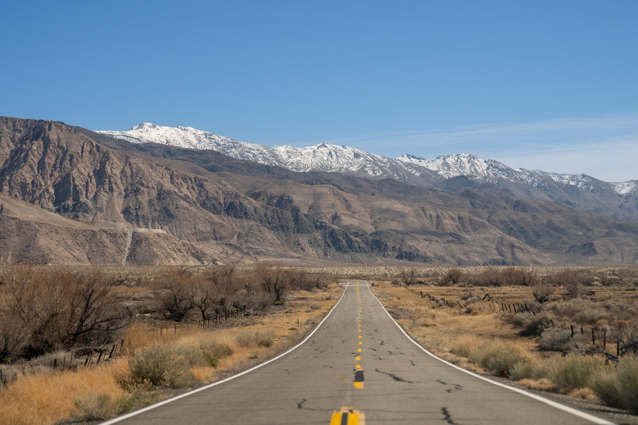
Driving around Badwater Basin
- About the Author
- Latest Posts
I strive to paint vivid landscapes with my words, bringing the magic of far-off lands and enchanting aromas to life for my readers. Combine passion for exploration and the art of gastronomy in an unending ode to the senses. When I’m not traversing the globe, I find solace in the earth beneath my fingertips, tending to my garden and working on projects around my verdant oasis. MK Library serves as a beacon, guiding fellow travelers and homebodies alike to embrace sustainability, nurturing both our planet and our souls with purpose. Full Bio.


